Completion of our voyage: Passage back to Rhode Island

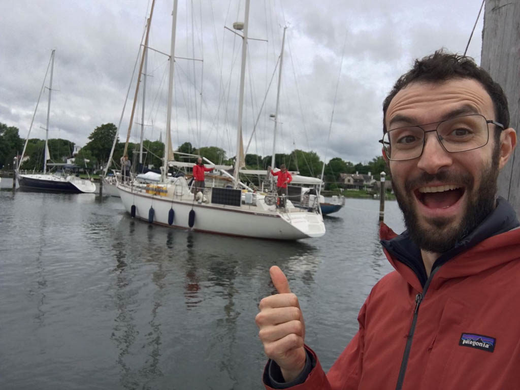
Our son Ben surprises us by showing up at the dock to take our lines at the completion of our passage

We are back in Rhode Island 12 and a half years after departing on our circumnavigation. We dropped anchor outside of Bissel Cove in dense fog at around 2 am on June 21st after a 10 and one-half day passage from Sint Maarten. After a quick bite to eat, the crew of Sabbatical III slept for a few hours and in the morning motored the 2 miles to the Wickford Cove Marina. Laura knew that our son Ben would be waiting at the dock at 9 am but they conspired to make it a surprise. As we approached the “A” dock in the narrow channel, I saw a guy waving vigorously. I presumed he was a marina employee indicating which berth I was to dock in. It wasn’t until I was right up to the berth that I saw that it was Ben. What a wonderful surprise.

Passage from Sint Maarten

We had waited patiently for 8 days after our crew arrived in Sint Maarten for a forecast that predicted enough wind to sail at least halfway to Rhode Island. For the previous weeks the wind forecasts had been dismal. We were more than ready to go. Sabbatical III was the only boat departing Simpson Bay Lagoon at the 10:30 am bridge opening on June 10. The first 24 hours of sailing was almost perfect with consistent winds and light seas. We were still in the trade wind belt so this was expected. We headed west of the rhumb line as more wind was forecast to our west. The seas stayed slight and wind speed fell but we still proceeded under sail alone. A “rogue” large wave rolled the boat badly on the second night, making the genoa collapse and then refill with a bang, knocking the wind instrument at the masthead out of commission for a few minutes. We had intermittent problems with the wind direction indicator for the next week until it finally failed altogether while Sabbatical III was knocked around in the Gulf Stream. (I have had it replaced here in Rhode Island.)

Sabbatical III is the only vessel to exit the Simpson Bay Lagoon at the 10:30 am bridge opening on June 10.

After a few days, the winds were too light to keep our speed reasonable so we began motorsailing. The motor, run at low RPM, in combination with our full set of sails got our speed back up to 6 knots and saved fuel. Some days we had to rely only on the engine, other days it was a mix of sailing, motor sailing, and motoring. We used about 400 liters of diesel fuel out of the 840 liters (600 in the tank and 240 in jerrycans) that we departed with. Those extra five jerrycans that I bought were not needed and will probably never be used. Oh well, they were insurance.
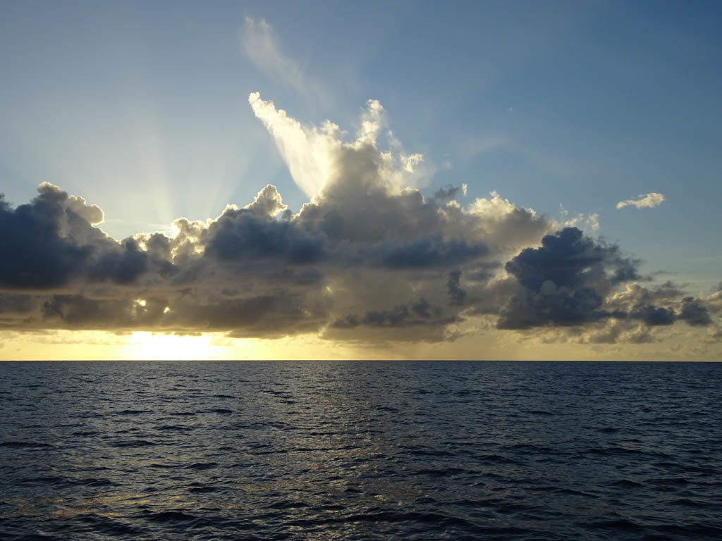
Flat seas and beautiful cloud formations were common on the passage until we crossed the Gulf Stream

Using our sat phone, we downloaded satellite imagery that showed a very large gyre in the Gulf Stream so we set a course to take advantage of it. By entering the side of the gyre that set to the north we got a nice boost from current before we crossed the main stream itself just two days out of Rhode Island. There were squalls and unsettled seas in the Stream that bounced us around quite a bit and finished off the wind direction indicator (as noted above) but also led to the failure of the main outhaul gearbox. That made the main sail essentially inoperative for us. Halfway through the stream the squalls ended and the seas became smoother. The wind was aft of the beam so the loss of use of the main sail was not consequential.

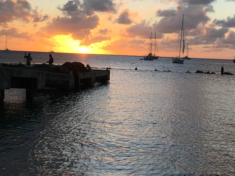
Sunset at sea
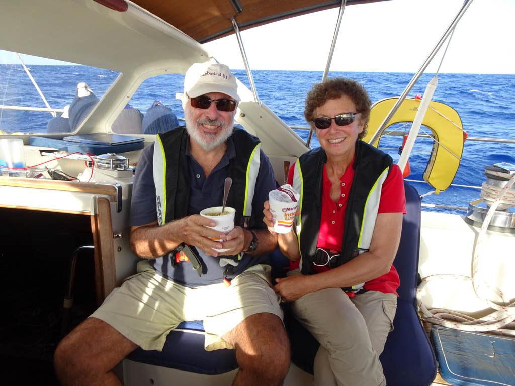
Laura and I celebrate our 41rst wedding anniversary with instant soup-in-a-cup

A day out of Rhode Island we first encountered fog and the wind died completely. We were visited by a big school of playful dolphins that leapt and swam at our bow for almost an hour.

It became clear that we would enter the Narragansett Bay in the dark but also in dense fog. Before departing Sint Maarten, I had picked out a few places to anchor in case of a night time arrival. My first preference was Dutch Harbor, which we knew fairly well, but a Google search had revealed that anchoring was no longer permitted as the mooring field had been expanded. So we made for Bissel Cove, a place we had never visited. We proceed up the West Passage at very slow speed since we could not see more than 50 feet. We relied on radar, AIS, and our digital charts. We could not see the towering Jamestown Bridge until we were less than 100 feet away. With the crew on deck with flashlights looking for moored or anchored boats without lights, we rounded Fox Island and dropped anchor in Bissel Cove at 2 am.
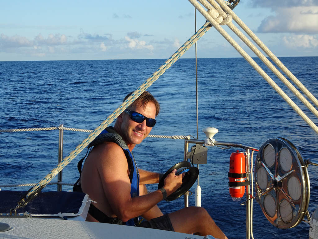
Leif was incredibly patient cleaning sargasso weed off of the fishing lines
Leif and Pat

Our volunteer crew, Pat and Leif were great. They were attentive during their watch, and easy to get along with. Leif is a dedicated fisherman. He and I put out lines starting on the first day only to catch Sargasso weed. I gave up after 4 or 5 days of trying but Leif kept putting out fishing lines up until the Gulf Stream. We tried heavier lures, diving lures, and lead sinkers, but still the weed kept fouling our gear. Good thing we had Laura’s chicken curry, chili, and lentil soup in the freezer because fish was not on the menu.

Arrival at the Wickford Cove Marina

Ben only stayed with us for a few hours after taking our lines on arrival at the Wickford Cove Marina as he had to go to a conference in Martha’s Vineyard. He did leave us with a large box of French pastries. The crew left within a couple hours of arrival. Soon after, our Providence friends Robin and Yoram Ringer, and Wileen Snow came to greet us bearing hugs and gifts. The Ringer’s and Snow’s share ownership of a Freedom 35 sailboat. Before Ben left, we all went for lunch in a waterfront restaurant in Wickford .
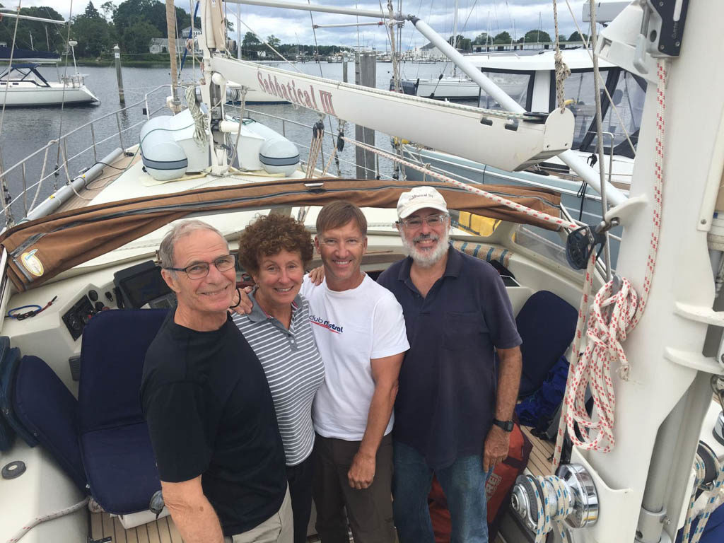
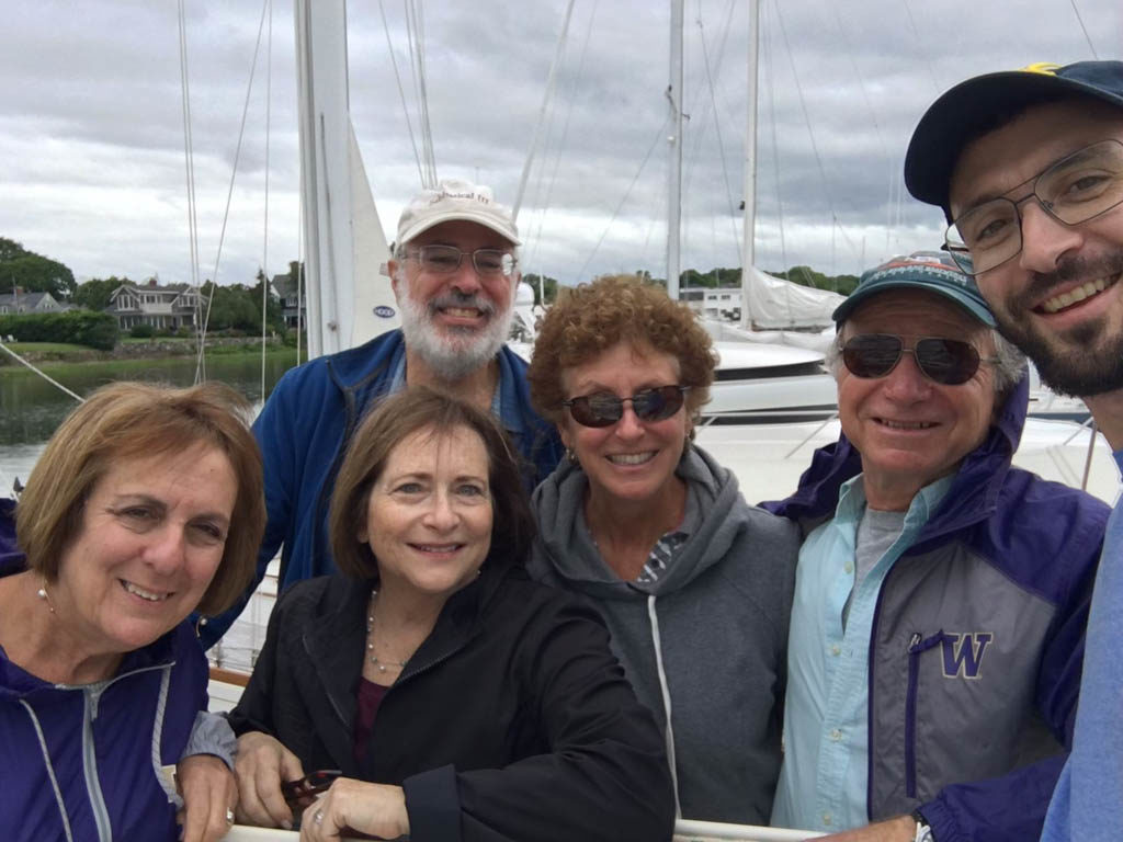
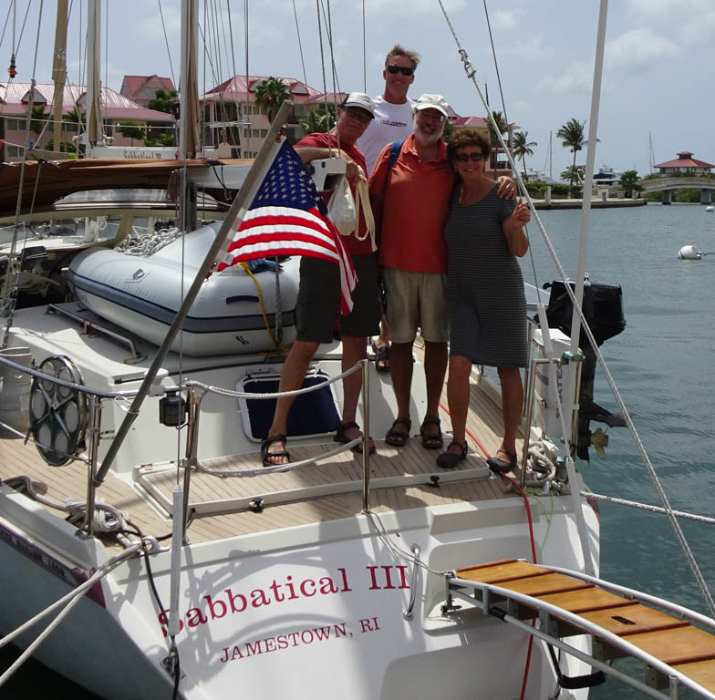
The crew of Sabbatical III smiles upon arrival

Our Providence friends come to the dock to greet us. From left: Robin, Wileen, Mark, Laura, Yoram, and Ben.

A few days later, Ben finished up his conference and took the ferry from Martha’s Vineyard to Quonset, Rhode Island and spent a few days with us. We walked around this charming colonial-era town and sailed to Potters Cove on Prudence Island and spent the night at anchor.
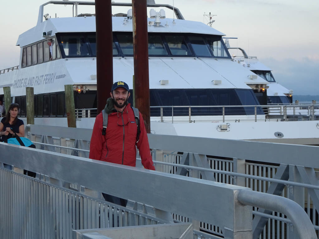
Ben returns to Sabbatical III after a conference in Marthas Vineyard.
Ben and Mark at the helm on the way to Potters Cove.

It is now five weeks since we arrived. The town of Wickford and this marina exceed our expectations. All the repair and maintenance issues have been dealt with and tomorrow (July 28) we are sailing to Maine to spent a few weeks sailing in one of our favorite cruising grounds. It is good to be home.

M.

Departing for Rhode Island

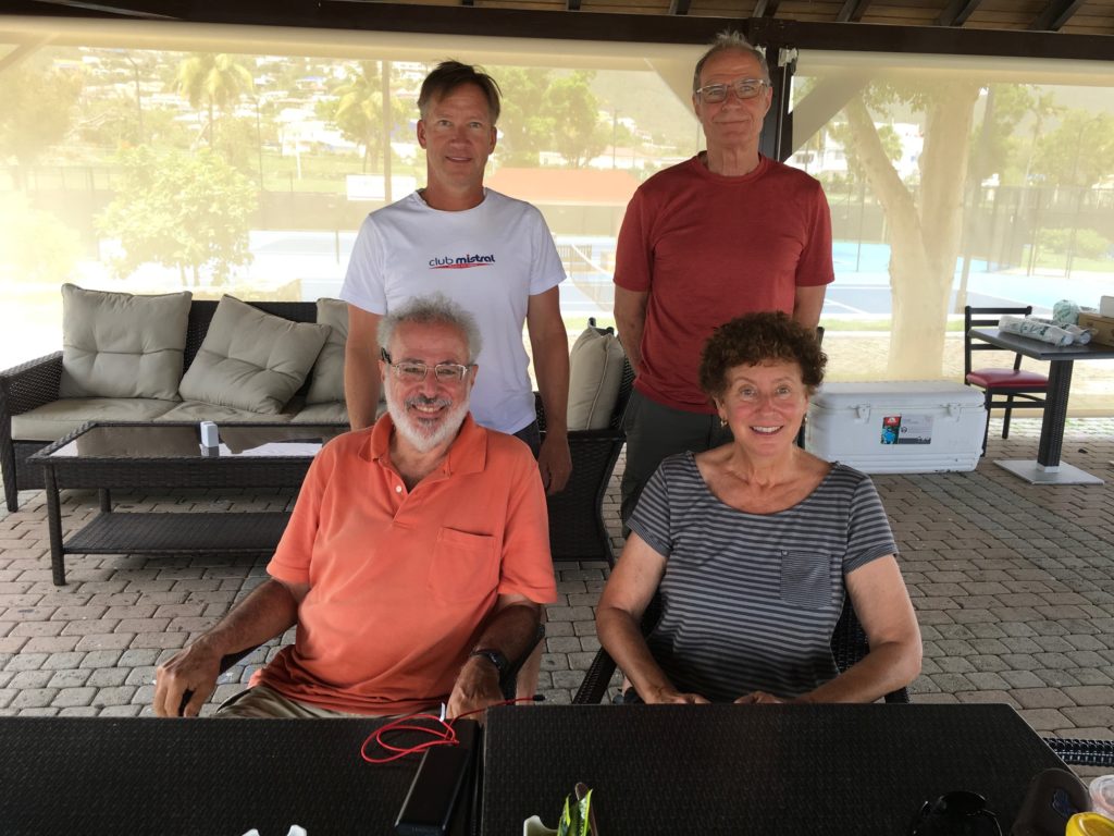
Mark and Laura pose with our crew Leif (left) and Pat (rear).

Tomorrow morning (Monday,June 10) we will depart The Yacht Club Port de Plaisance in Simpson Bay, Sint Maarten for Wickford Cove Marina in Wickford, Rhode Island. We have completed our clearance procedures and will exit the lagoon at the 10:30 am opening of the bridge.

Our crew came one week ago but there was no wind to sail north. Light to moderate wind is forecast for most days for a departure starting tomorrow, with strong winds forecast for the seventh and/or eight day of the 10 1/2 day passage. We hope that the wind is sufficient to sail two-thirds of the way to Rhode Island. Concerned about the relative lack of wind, I bought extra jerrycans. We now have 12 jerrycans carrying 20 liters each plus a full 600 liter main tank. If the weather is not as expected, we will stop in Bermuda to wait for conditions to change and to refuel.

You can follow our progress to Rhode Island at our Garmin “Mapshare” site: https://share.garmin.com/MarkPitt

M.

Leif (l) and Pat (r) pose with Mark and Laura at Lobster House restaurant at the marina complex.
Jerrycans are lined up after filling with diesel.
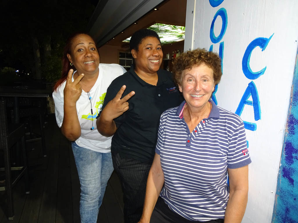
The server and cook at the Lobster House became our friends.
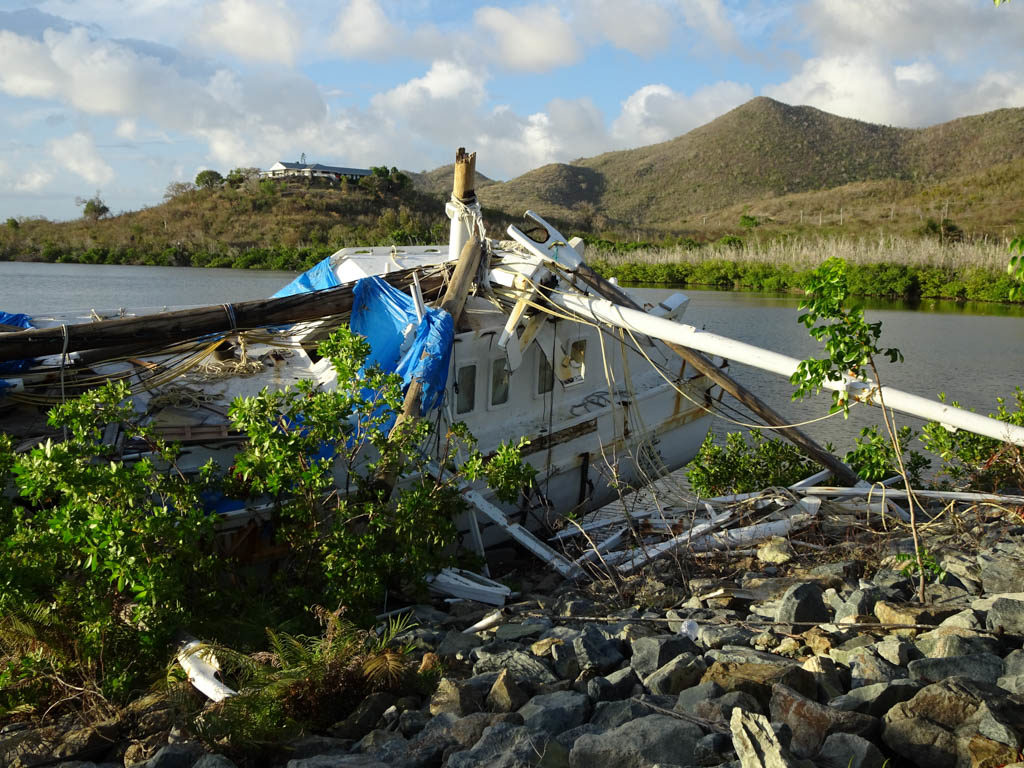
Wooden sail boat destroyed by hurricane. Simpson Lagoon, Sint Maarten.
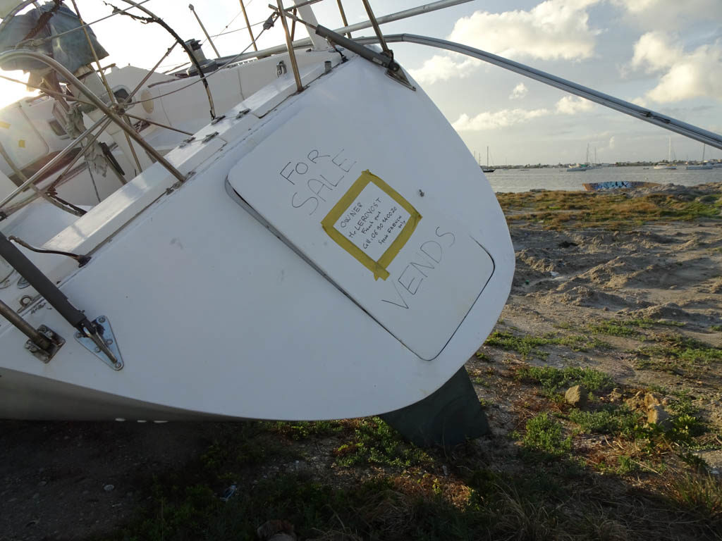
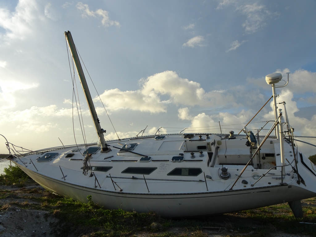
This sail boat is for sale and probably pretty cheap. Simpson Lagoon, Sint Maarten.
View of the sail boat above that is for sale. Simpson Lagoon, Sint Maarten.
Laura gazes at steel sail boat next to the Simpson Bay Causeway. Simpson Lagoon, Sint Maarten.
View towards our marina from the Simpson Bay Causeway. Simpson Lagoon, Sint Maarten.
“Love locks” on the Simpson Bay Causeway.

Sint Maarten

Laura takes her daily swim at the Yacht Club Port de Plaisance, Sint Maarten

We are happily berthed at the Yacht Club Port de Plaisance on Cole Bay, Sint Maarten, the Dutch side of the island of Saint Martin. When we first arrived from Guadeloupe, we spent a week anchored in Marigot Bay on the French side of the island. It blew hard for the whole week. So hard that we did not want to swim even though the water was a beautiful turquoise. But we did take the dinghy ashore to shop and dine in the town of Marigot nearly every day.

It was clear that the town has a long way to go in it’s recovery from Hurricane Irma. Irma was the first Category 5 hurricane on record to strike the Leeward Islands, followed by Maria two weeks later, and the strongest storm on record to exist in the open Atlantic region. On the morning of September 6, 2017, Irma’s center crossed the island while the storm was at peak intensity and the extreme winds ripped trees out of the ground and scattered vehicles and debris across the island. On the French side of Saint Martin, entire marinas around Marigot were left in ruins, littered with the stranded remnants of boats that had smashed into each other. Almost every boat in our current marina was destroyed.

As we sailed around from Marigot Bay to Simpson’s Bay we could clearly see the devastation wrought by Hurricane Irma. All that is left of these hotels and residence are concrete shells.

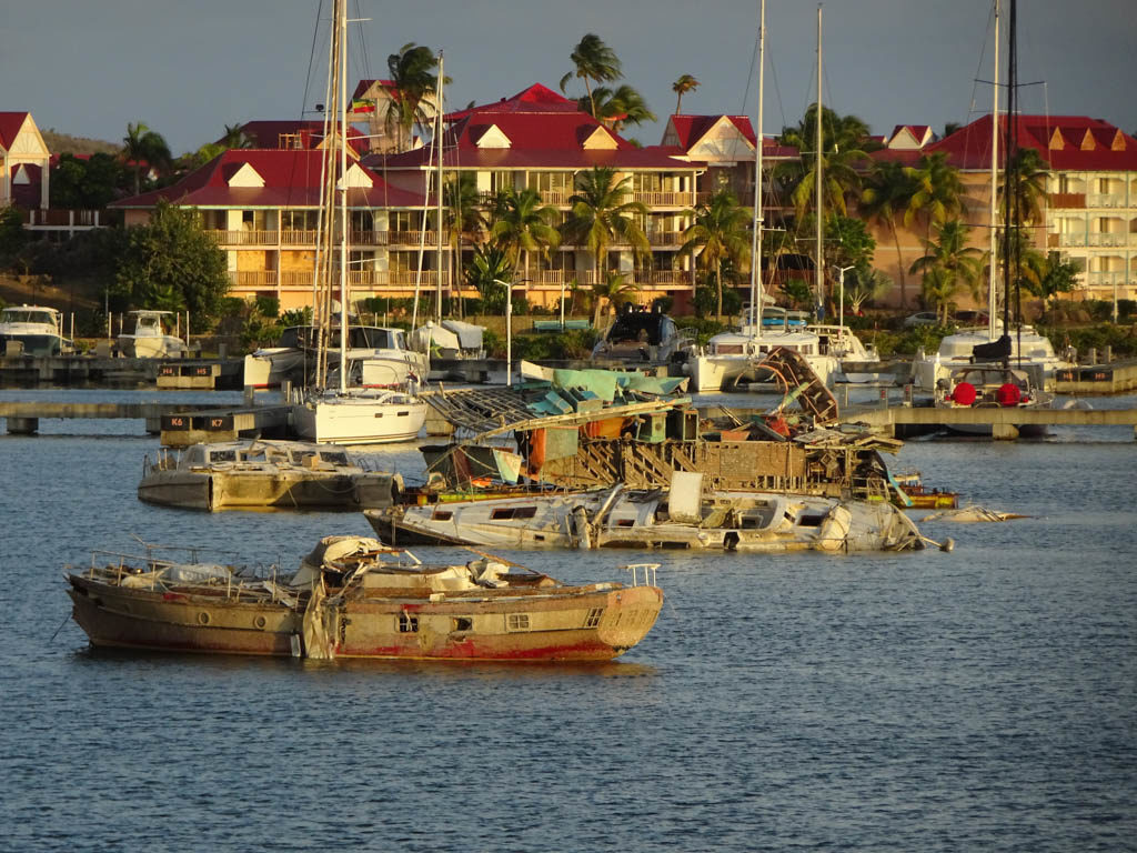
A month prior to our arrival in Saint Martin, I had made a reservation at “The Simpson’s Bay Marina” in the Simpson’s Bay Lagoon, one of the largest inland lagoons in the Caribbean. The border between the French and Dutch halves of the island runs across the center of the lagoon. We stayed in the Simpson’s Bay Marina in 2004 and 2006 and had fond memories of our time there. It was jammed with cruising boats on both occasions. We decided we should see how the marina looked post-hurricane before we brought Sabbatical III in. So we took our dinghy through the pass on the French side and dinghied the 1.5 nautical miles to the marina. We were shocked to see the remains of so many sunken sail boats and motor yachts littering the lagoon almost two years after Irma. The Simpson’s Bay Marina was not recognizable. One of the concrete docks had sheared off and the rubble still lay in the water. The marina office was gone, as were the dinghy docks and many other facilities. The marina was mostly empty and nearly half the boats at berths were damaged and probably immobile. We decided that this was not the place for us.

Broken “Dreams” in Simpson’s Bay Lagoon.

On the way back to Marigot, I saw the docks of another marina that I did not know just across the bay from the Simpson’s Bay Marina. On checking my charts, I discovered it is Yacht Club Port de Plaisance. The next day we checked it out and a day later we brought Sabbatical III around to Simpson’s Bay, entered the lagoon when the swing bridge opened, and Med moored at the (also mostly empty) Port de Plaisance.

The Port de Plaisance has some attributes that we value. It is very quiet and is far from road and commercial traffic, except for one weekend night a week when someone rents a big tent in front of the hotel for a party or revival meeting. It also has a very nice gym and pool that were meant for guests of the hotel resort and casino on the property, as well as locals. Damaged by Irma, the hotel is only partially open. Staying in the marina gives us free access to all of the facilities. When Laura does her laps, she is typically the only one in the pool.

We have spent a lot of time getting Sabbatical III ready for her final long ocean passage — to Rhode Island. Aside from a salt water leak in the engine room, she was actually in very good shape when we arrived. But there is always things that need attention. We spent a lot of time and money at the Island Water World chandlery. Laura got a new offshore sailing jacket for Mother’s Day. The trusty hard-bottomed dinghy that we purchased in Saint Martin in 2006 was looking a bit frayed after all that sun and use so we decided to buy a new one. While waiting for the Island Water World staff to setup our new dinghy, we sold our old one to Victor, a young French guy with big sailing dreams. Victor was in the store when Laura put up an ad on the bulletin board and the deal was done right there.

Victor takes our 12 1/2 year old dinghy home on his car.
Laura models her new offshore sailing jacket outside of the Island Water World chandlery.

We have two volunteer crew flying in from the US on June 2 and we plan to leave Saint Martin for the Wickford Cove Marina in the village of Wickford the next day, weather permitting. We may stop in St. Georges, Bermuda if the weather becomes unfavorable. Bermuda is a 6 day sail away. Rhode Island is 4 1/2 days sailing from Bermuda. Although too much wind has been the constant characteristic of our time in the Caribbean this season, there now seems to be a decided lack of wind to our north. Fifty or 100 miles north of Saint Martin the wind seem to be gone. So we have purchased some extra jerry cans to hold diesel just in case, but we will not leave here unless there is wind to sail most of the way. The forecast for the week starting June 3 looks pretty good but it is still early. We will update the blog concerning our departure plans once we know.

M.

Our new home starting mid-June — the Wickford Cove Marina. Our berth in indicated by the box and arrow at the bottom right. Come by and say hello!

Tobago Cays and Cumberland Bay

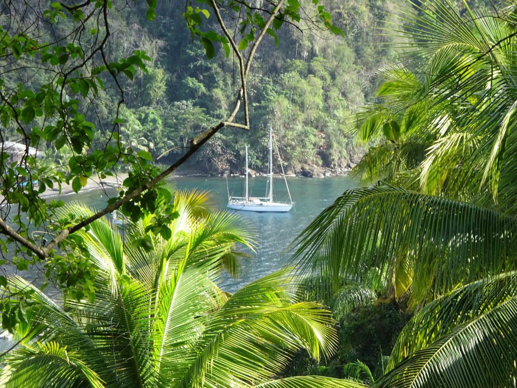
Sabbatical III at anchor in Cumberland Bay, St. Vincent Island

Tobago Cays

We left Bequia on March 6 and sailed to Tobago Cays further south in the Grenadines. The Tobago Cays consist of five small, uninhabited islands and several shallow fringing reefs and a large barrier reef to the east known as Horseshoe Reef. Behind the reef is a lagoon with a sand bottom where we anchored. The whole area is a marine national park. It blew hard every day we were anchored at the Tobago Cays as it has almost every day since we arrived in the Caribbean, So hard on some days that we could not swim or snorkel. Nonetheless, it is a magical place. At low tide on more moderate days we took the dinghy up to the reef to snorkel. The reef was still vibrant and there were plenty of fish, including a Caribbean blue shark that surprised us. Turtles swam around the boat constantly.

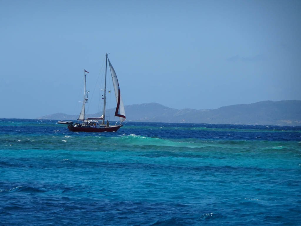
A boat sails into the channel leading to the lagoon behind Horseshoe Reef,
View towards Mayreaux Island.
On a day when the tide was high and the wind was strong, sargasso weed blew over the reef and into the lagoon. This is a view of the anchor chain and snubber of Sabbatical III.

Cumberland Bay, St. Vincent Island

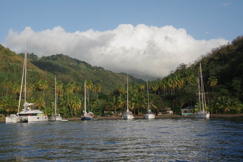
Boats at anchor in Cumberland Bay, St. Vincent Island. Sabbatical III at far right.

We left Bequia (for the second time) on March 20 and sailed up the west coast of the high, mountainous island of St. Vincent as far as Cumberland Bay. We have sailed past St. Vincent Island many times, marveling at it’s beauty, but never stopped because of it’s longstanding reputation for petty crime against boats. Our friends Melinda and Dave of “Sassoon” spent a few days at Cumberland Bay on their way north from Bequia (at the same time that we went south to Tobago Cays) and sent us a glowing report of the beauty, friendliness and safety of the place. They certainly did not exaggerate.

We arrived at midday on a Wednesday that was, unbeknownst to us, “party night” at Cumberland. Large (60 foot) crewed catamarans come in late Wednesday afternoon and discharged their passengers for BBQ and steel drums ashore. There were 3 boats when we arrived at noon on Wednesday but there were 14 boats anchored by sunset.

The water in Cumberland Bay is too deep to safely rely on a single anchor to hold a boat in the prevailing easterlies that blow down from the mountains. The system is to drop an anchor in the deep water and then take a line ashore from the stern to a coconut palm or other object. The weight of the boat is taken by the stern line. The anchor mostly keeps the bow into the swell and any light westerlies that might arise in the afternoon. There are “boat boys” who come out in a dinghy to take your stern line and bring it ashore for a different set of men to tie to the tree. There are three of four “boat boys” who take turns handling arriving boats, even though only one would be enough to handle the traffic. The “boat boy” is tipped for his efforts and he shares some of that with the guy ashore who ties the knot around the tree. That way, more people in the community benefit from the boats that visit. Knowing the anchoring setup, we had a strong 140 foot line prepared, our longest line. But even that was not long enough. We added two shorter lines to the end of the long line to make a bridle to each stern cleat.

We did not join in the Wednesday night party ashore. We were content to listen to the steel drum band from the deck of Sabbatical III. We had snorkeled on the reef at the entrance to the bay earlier in the day and were tired from our long day. The next morning almost all of the boats departed leaving only 3 other boats at anchor. We went to the Mojito Restaurant ashore and arranged for one of the members of a large, extended family to drive us to Dark Falls, a set of waterfalls about an hour drive away. It seems that everyone in the small community of Cumberland is related. Our driver (Jamaal) brought his cousin (Mata) along. The cousin is one of 27 children born to the partners of his father. The four small restaurants ashore are all owned by different uncles, and they all know where you eat and even what you ordered. (One must order hours in advance since they acquire many of the ingredients after you order). Apparently, the most important industry in the hills above Cumberland Bay is ganja growing for export. This industry is somewhat in decline and tourism is a seen as a good alternative.

The trip to Dark Falls was amazing and the driver and his cousin were extremely interesting and friendly. The narrow road is cut into the volcanic mountains rising steeply from the sea and is full of hairpin turns. The driver honks the horn before every hairpin turn so as to alert any car that may be coming the other way. Typically, there is not enough room for two cars to pass on a turn. The views were spectacular. Dark Falls is set in a forested highlands and one must traverse a pedestrian suspension bridge made from bamboo. Laura even had a swim under one of the waterfalls.

We are now back in Le Marin, Martinique.

One of the waterfalls at Dark Falls, St. Vincent Island.
Village above Cumberland, St. Vincent Island. A dog bit me here when I tried to take a photo of the mural in the front of the house of a Rasta. Fortunately, St. Vincent is rabies free.
Cumberland Bay, St. Vincent Island.
Our fruit seller “Gas” on his way to meet our fruit cravings.
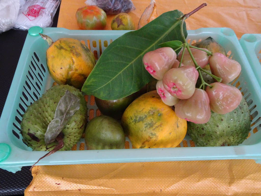
Fruits for sale. Cumberland, St. Vincent Island.
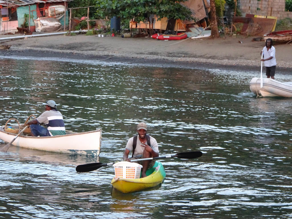
“Gas” paddles his fruit kayak as the sun sets. Cumberland Bay, St. Vincent

M.

Bequia

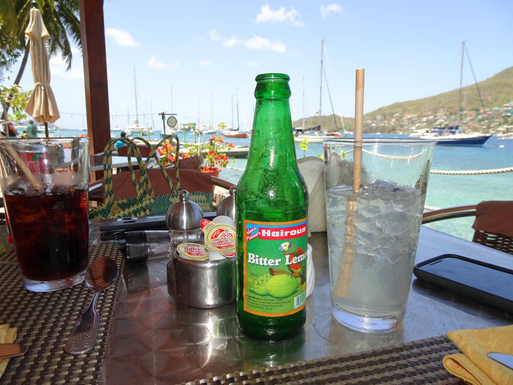
Laura’s favorite soft drink, locally made Hairoun Bitter Lemon, as viewed from the Frangipani Restaurant, Admiralty Bay, Bequia

We departed the anchorage of Rodney Bay, St. Lucia at 4:00 am on February 20 bound for Admiralty Bay, Bequia Island in the nation of St. Vincent and the Grenadines. There were quite a few squalls during the passage, with high winds and bumpy seas, particularly in the channels between islands. In 2004, we did this same passage with Laura’s mother, sister and brother-in-law and is was nothing like the 2019 passage. Good thing.

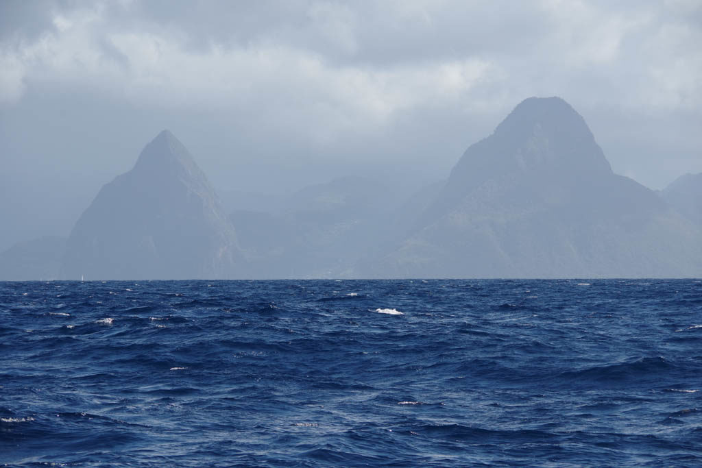
Sailing past the “Pitons” on the southern end of St. Lucia
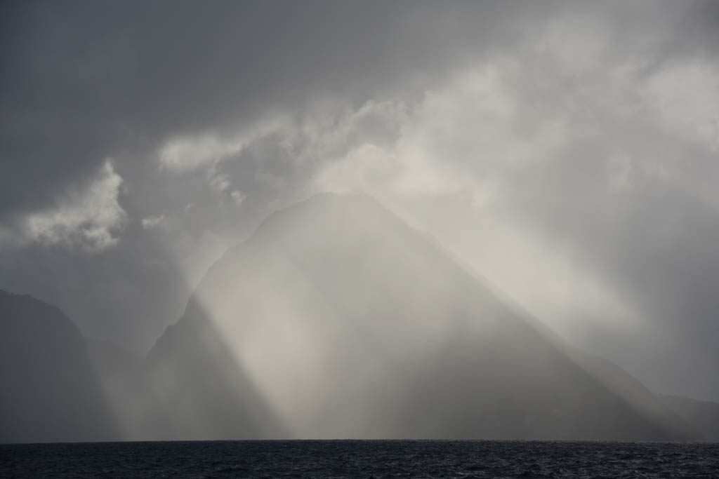
The Pitons are illuminated by a beam of sunshine during a squally sail down the length of St. Lucia

I started out by trolling two fishing lines from the stern of Sabbatical III. Almost immediately they caught sargasso (Sargassum) weed. There was weed patches everywhere, particularly in the channels. I hauled in the fishing lines and cleaned off the weed and reset them, but soon found it to be useless to try.

Catch of the day on Sabbatical III: sargasso weed

We arrived in Admiralty Bay, Bequia in mid-afternoon and found it crowded with boats. It is a popular spot with sailors and it is easy to see why. Although the wind constantly blows strongly off of the hills, there is good protection from waves and the town of Port Elizabeth is charming and only overrun with tourists on the days when a cruise liner anchors outside and ferries in their passengers in motorized pods. Even then, we know which places to avoid. On those days Princess Margaret Beach (named after Queen Elizabeth’s sister) is one mass of bodies laid out in the sun. We just hike up and down a steep hill at the end of that beach and wind up in Lower Bay with an uncrowded beach and a couple of small beachside restaurants.

Our friends Dave and Melinda from the boat “Sassoon” were anchored at the other side of Admiralty Bay when we arrived and it was nice to spend two weeks with them catching up. We shared coffee or tea and cake at the Gingerbread House, our favorite cafe, where we sat under the huge “almond tree.” We also shared walks, lunches, and snorkeling with them.

With Melinda and Dave of “Sassoon” at the Gingerbread House.
The Gingerbread House and “almond tree” with the convenient dinghy dock in the foreground.

We left Bequia on March 6 and sailed further south to Tobago Cays. We will write a separate blog about Tobago Cays and about our time at Cumberland Bay on the big island of St. Vincent. On the way north from Tobago Cays, we again anchored in Admiralty Bay, Bequia for another week (March 13 to March 20).

Most days we enjoyed strolling on the recently restored Belmont Walkway. This ocean front walkway is a major attraction on Bequia for visitors and locals. It starts in town running alongside Belmont Beach and continues over a headland to Princess Margaret Beach. At the other end of the beach another trail leads up and over a headland and connects with the road leading down to Lower Bay.

Signpost for the Belmont Walkway and Princess Margaret Trail, with Admiralty Bay in background.
Princess Margaret Trail, Bequia
“Pizza Hut” on the Belmont Walkway, Bequia
Sign in front of bookstore, Belmont Walkway, Bequia
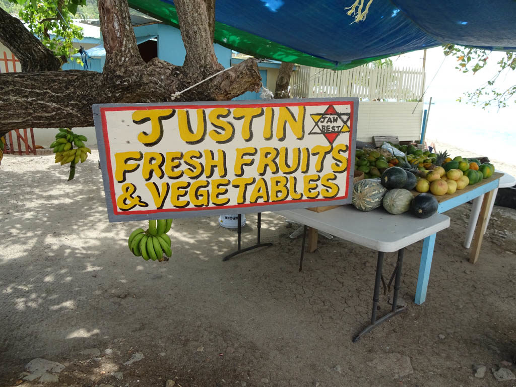
Fruit and vegetable stand, Port Elizabeth, Bequia
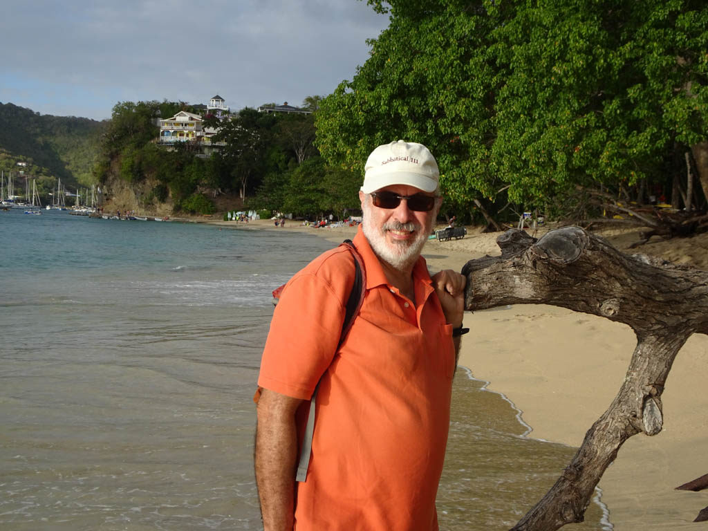
Mark at Princess Margaret Beach, Bequia
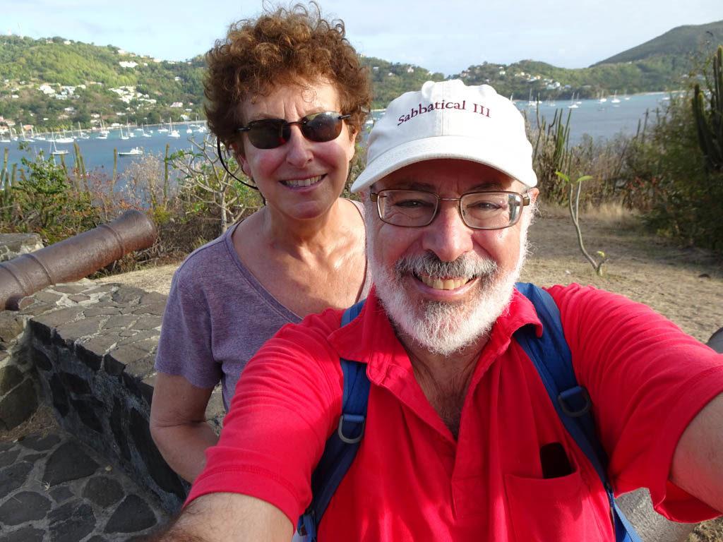
Selfie taken at Fort Hamilton (as in Alexander Hamilton) above Admiralty Bay, Bequia
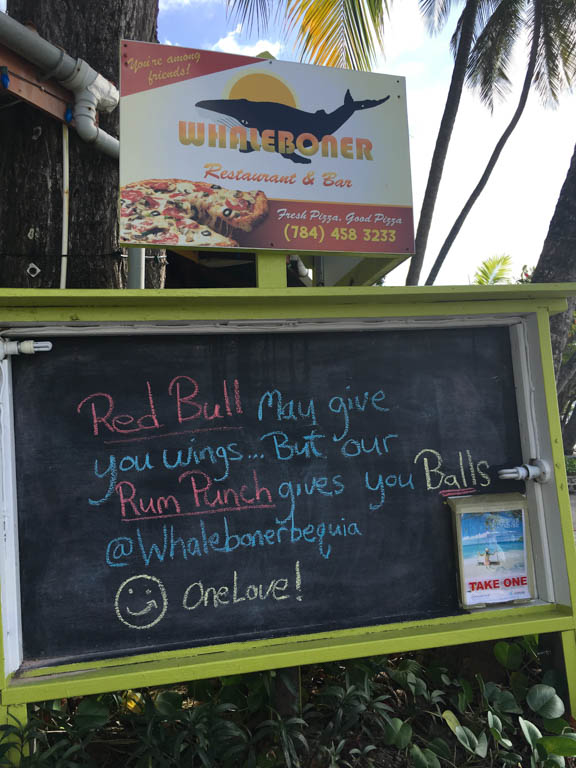
Sign at the Whaleboner, Belmont Walkway, Bequia
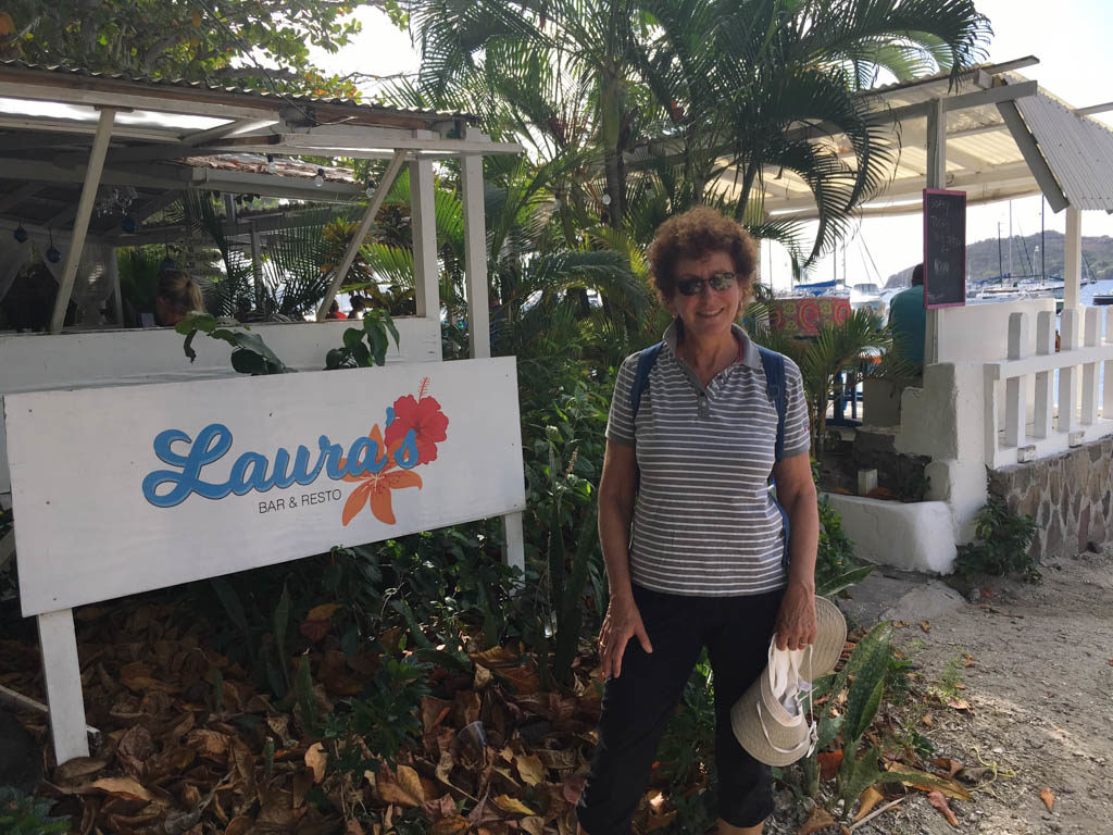
Laura’s Restaurant, Port Elizabeth, Bequia
Laura climbs aboard after one of her many swims off of Sabbatical III, Admiralty Bay, Bequia

M.

Martinique and Saint Lucia

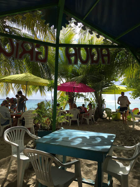
Aqua Grill, Sainte-Luce, Martinique

Sabbatical III spent five weeks in Martinique. The first two days at anchor in Sainte Anne, then one month in the nearby marina at Le Marin, then 4 days at anchor in Sainte Anne again. While Sabbatical III was in the marina, we took the opportunity to fly to California for 10 days to visit our children, Laura’s mother who was visiting from St. Paul, and Laura’s brother and sister. It was a wonderful trip.
We also had the Amel base in Le Marin perform some of those maintenance tasks that are required only every 10 to 15 years. This included disconnecting the engine from the transmission by unbolting it and moving it aft, and inspecting the transmission coupling and changing the bushings on the coupling. We also had a rigger experienced with the Amel rig inspect the standing rigging and tune it.

Cattle graze on the east coast of Martinique

We also rented a car for a few days and toured around the southern half of the island. The roads are winding but in good shape.

Lunch with Frank and Barbara of “Destiny” at the Creole restaurant Le Cocotier in Cap Chevalier, Martinique
Laura at the beach at Petite Anse, Martinique. We had lunch a Creole lunch at Snack Fredo and Laura had a swim.
Mark at the beach at Petite Anse.
View of Rodney Bay, St. Lucia from Pigeon Island.

On February 8, we had a nice sail to Rodney Bay, Saint Lucia from Sainte Anne, Martinique. We hoped to catch fish in the open waters of the channel between the islands but after 5 minutes of trying it was apparent that all one could catch was sargassum weed. There were weed patches everywhere. Even with a lure weighted to keep it well below the surface, weed piled up on the lure and hook after only a few minutes. The widespread infestation of sargassum weed has fouled beaches, particularly those that are east facing, and has already affected our sailing plans. Beaches and bays on the west (leeward) side of islands are relatively unaffected.

Sunset at Gros Islet, St. Lucia (near the Rodney Bay Marina)

We are now in the Rodney Bay Marina in Saint Lucia. This is our fourth time at this marina (2003, 2004 twice, and 2007). There is new mall nearby with a very nice supermarket (with mostly American products), so we will re-provision the boat. We expect to stay for a couple of days more and then head south to Bequia Island in Saint Vincent and the Grenadines.

M.