Sint Maarten

Laura takes her daily swim at the Yacht Club Port de Plaisance, Sint Maarten

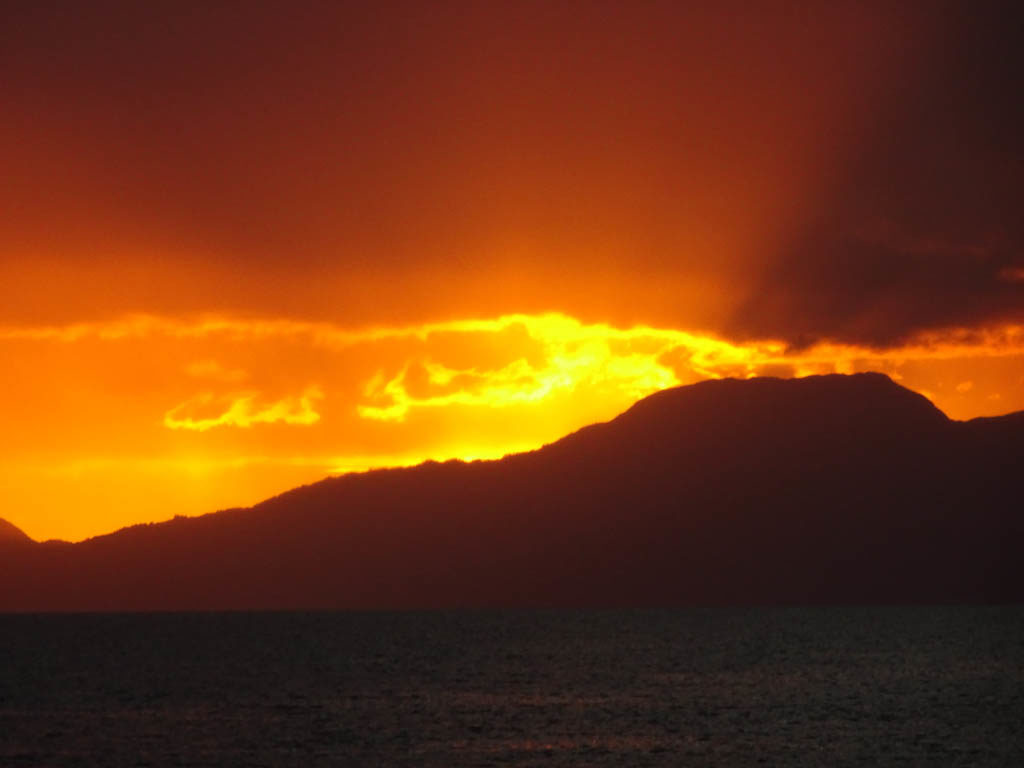
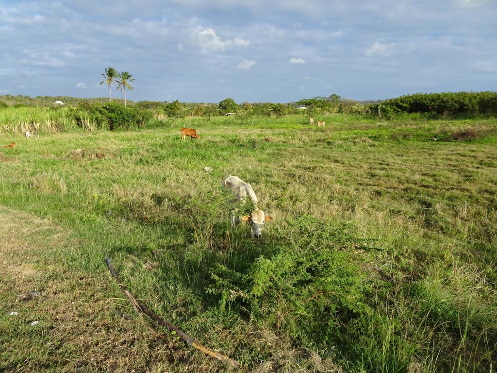
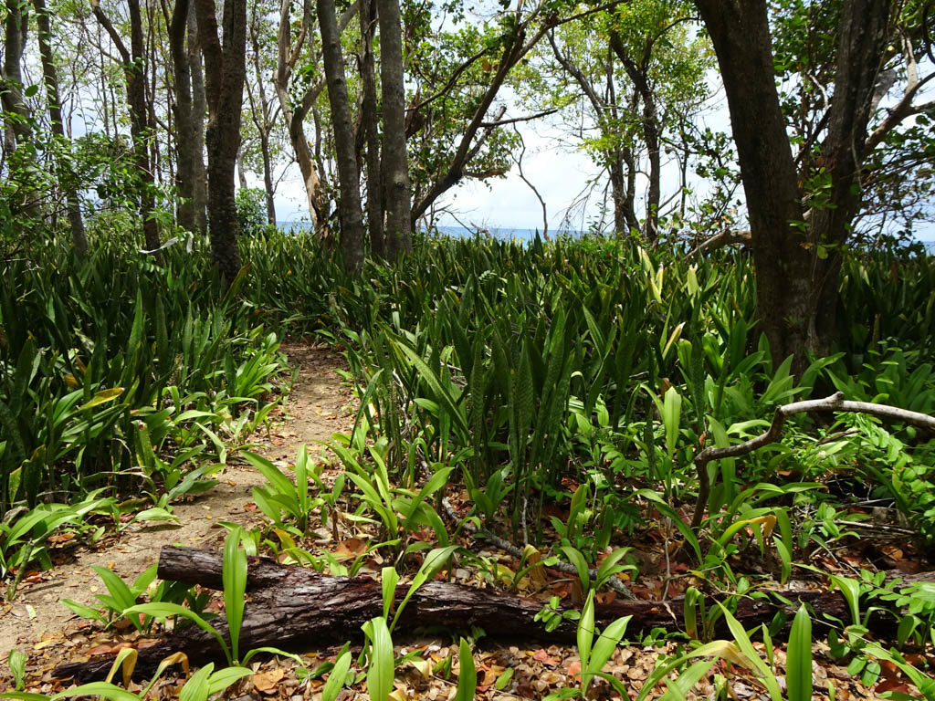
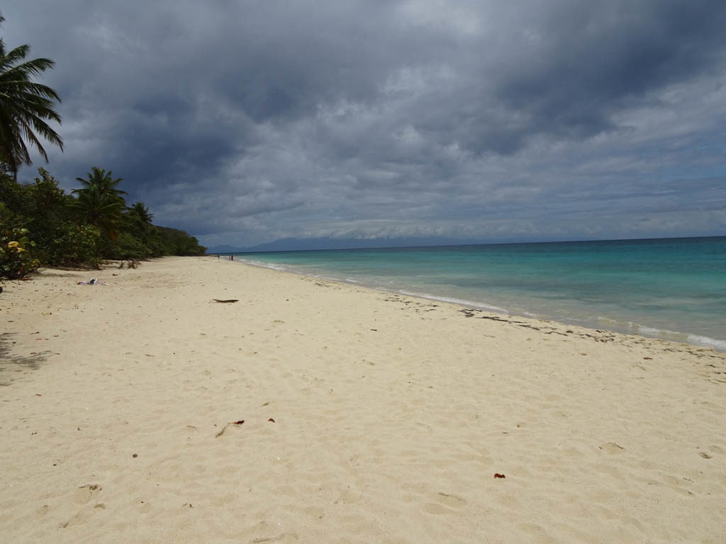
We are happily berthed at the Yacht Club Port de Plaisance on Cole Bay, Sint Maarten, the Dutch side of the island of Saint Martin. When we first arrived from Guadeloupe, we spent a week anchored in Marigot Bay on the French side of the island. It blew hard for the whole week. So hard that we did not want to swim even though the water was a beautiful turquoise. But we did take the dinghy ashore to shop and dine in the town of Marigot nearly every day.

It was clear that the town has a long way to go in it’s recovery from Hurricane Irma. Irma was the first Category 5 hurricane on record to strike the Leeward Islands, followed by Maria two weeks later, and the strongest storm on record to exist in the open Atlantic region. On the morning of September 6, 2017, Irma’s center crossed the island while the storm was at peak intensity and the extreme winds ripped trees out of the ground and scattered vehicles and debris across the island. On the French side of Saint Martin, entire marinas around Marigot were left in ruins, littered with the stranded remnants of boats that had smashed into each other. Almost every boat in our current marina was destroyed.

As we sailed around from Marigot Bay to Simpson’s Bay we could clearly see the devastation wrought by Hurricane Irma. All that is left of these hotels and residence are concrete shells.

A month prior to our arrival in Saint Martin, I had made a reservation at “The Simpson’s Bay Marina” in the Simpson’s Bay Lagoon, one of the largest inland lagoons in the Caribbean. The border between the French and Dutch halves of the island runs across the center of the lagoon. We stayed in the Simpson’s Bay Marina in 2004 and 2006 and had fond memories of our time there. It was jammed with cruising boats on both occasions. We decided we should see how the marina looked post-hurricane before we brought Sabbatical III in. So we took our dinghy through the pass on the French side and dinghied the 1.5 nautical miles to the marina. We were shocked to see the remains of so many sunken sail boats and motor yachts littering the lagoon almost two years after Irma. The Simpson’s Bay Marina was not recognizable. One of the concrete docks had sheared off and the rubble still lay in the water. The marina office was gone, as were the dinghy docks and many other facilities. The marina was mostly empty and nearly half the boats at berths were damaged and probably immobile. We decided that this was not the place for us.

Broken “Dreams” in Simpson’s Bay Lagoon.

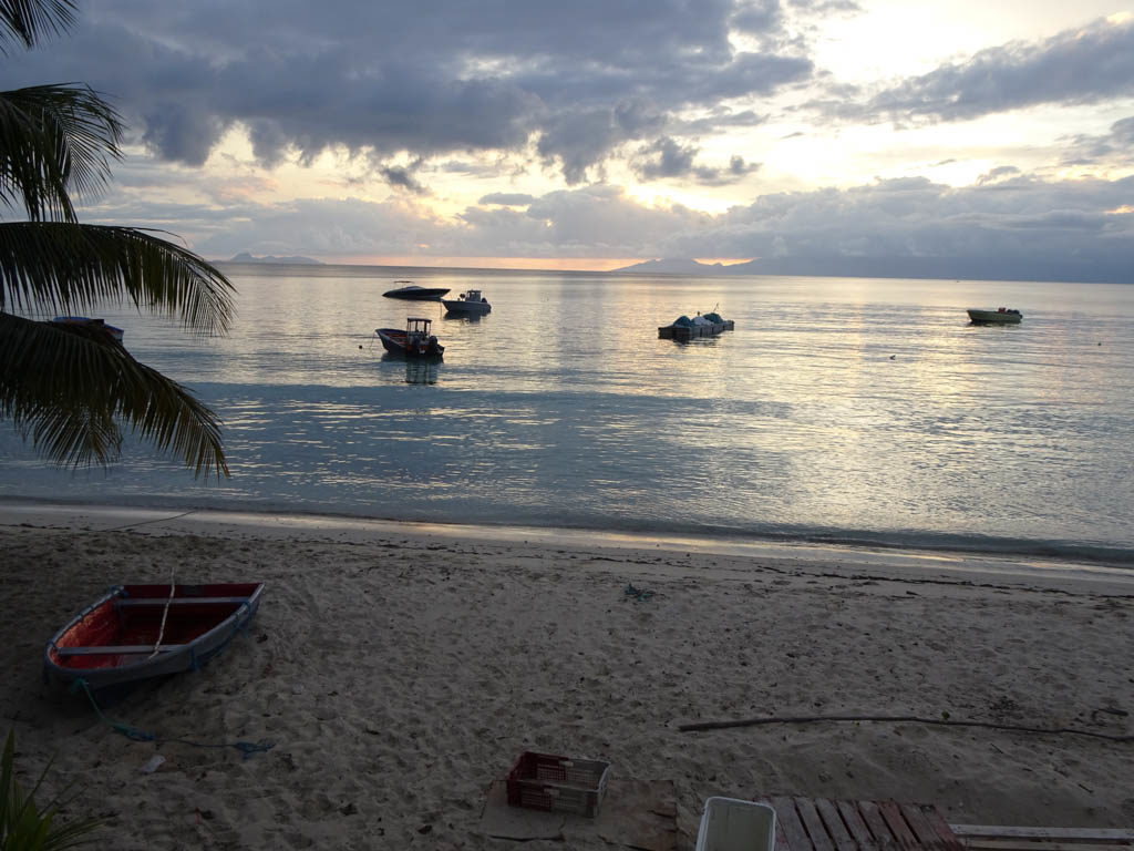
On the way back to Marigot, I saw the docks of another marina that I did not know just across the bay from the Simpson’s Bay Marina. On checking my charts, I discovered it is Yacht Club Port de Plaisance. The next day we checked it out and a day later we brought Sabbatical III around to Simpson’s Bay, entered the lagoon when the swing bridge opened, and Med moored at the (also mostly empty) Port de Plaisance.

The Port de Plaisance has some attributes that we value. It is very quiet and is far from road and commercial traffic, except for one weekend night a week when someone rents a big tent in front of the hotel for a party or revival meeting. It also has a very nice gym and pool that were meant for guests of the hotel resort and casino on the property, as well as locals. Damaged by Irma, the hotel is only partially open. Staying in the marina gives us free access to all of the facilities. When Laura does her laps, she is typically the only one in the pool.

We have spent a lot of time getting Sabbatical III ready for her final long ocean passage — to Rhode Island. Aside from a salt water leak in the engine room, she was actually in very good shape when we arrived. But there is always things that need attention. We spent a lot of time and money at the Island Water World chandlery. Laura got a new offshore sailing jacket for Mother’s Day. The trusty hard-bottomed dinghy that we purchased in Saint Martin in 2006 was looking a bit frayed after all that sun and use so we decided to buy a new one. While waiting for the Island Water World staff to setup our new dinghy, we sold our old one to Victor, a young French guy with big sailing dreams. Victor was in the store when Laura put up an ad on the bulletin board and the deal was done right there.

Victor takes our 12 1/2 year old dinghy home on his car.
Laura models her new offshore sailing jacket outside of the Island Water World chandlery.

We have two volunteer crew flying in from the US on June 2 and we plan to leave Saint Martin for the Wickford Cove Marina in the village of Wickford the next day, weather permitting. We may stop in St. Georges, Bermuda if the weather becomes unfavorable. Bermuda is a 6 day sail away. Rhode Island is 4 1/2 days sailing from Bermuda. Although too much wind has been the constant characteristic of our time in the Caribbean this season, there now seems to be a decided lack of wind to our north. Fifty or 100 miles north of Saint Martin the wind seem to be gone. So we have purchased some extra jerry cans to hold diesel just in case, but we will not leave here unless there is wind to sail most of the way. The forecast for the week starting June 3 looks pretty good but it is still early. We will update the blog concerning our departure plans once we know.

M.

Our new home starting mid-June — the Wickford Cove Marina. Our berth in indicated by the box and arrow at the bottom right. Come by and say hello!

From Martinique to Sint Maarten

Sunset over Basse-Terre, Guadeloupe as seen from Saint-Louis, Marie-Galante

We left Cumberland Bay, Saint Vincent heading for Martinique on March 23. The trip is too far to do during daylight in a single day, so we anchored in Rodney Bay, St. Lucia for the night after a fine day of sailing. The next morning we departed for the relatively short trip across the Saint Lucia Channel to the Marina du Marin in the Cul-du-Sac du Marin in Martinique. Once into the channel we began to be hit by small but intense squalls that made the trip a bit more exciting than we had expected. Around noon, as we approached the narrow and winding entry channel through reefs into the Cul-du-Sac, we saw a very large squall approach. Not wanting to be caught in a squall in a narrow channel through reefs, we slowed the boat down to see what would happen. The squall hit with surprising speed and intensity. It was the strongest squall we have experienced since we were in the Pacific, with 40 knots of wind and blinding rain. The wind did not let up and there were out of control charter boats and weekend sailors maneuvering in our path. We headed into the nearby anchorage at Sainte Anne to wait for things to calm down. At 4:15 pm, the skies had mostly cleared and the wind had abated, so we headed into the Cul–du-Sac to enter the marina. Just as we began maneuvering through the moored boats in front of the docks, at the direction of the dockmaster, another squall came up over the hills. Should we abandon our entry we asked. “No, but hurry up!” he replied. We did and made a safe if inelegant arrival at our assigned berth.

In the Marina du Marin we picked up some boat parts that we had ordered and extensively provisioned the boat. We spent a quiet week and then left for the anchorage at Sainte Anne again to meet our good friends Dave and Melinda on “Sassoon.” We took a great hike from Sainte-Anne to Anse des Salines where we had an excellent lunch of fresh fish. After two short days together we once again said goodbye to “Sassoon” as they would be heading west to Bonaire and Curacao, and we were about to head north.

On April 4, we departed for Saint Pierre at the northern end of the island of Martinique. Once known as the “Paris of the Caribbean” the town was destroyed in 1902, when the volcano Mount Pelée erupted, killing 28,000 people. The entire population of the town, as well as people from neighboring villages who had taken refuge in the supposedly safe city, died, except for two people. Mount Pelée still towers over the town and is closely watched by volcanologists. It is absolutely spectacular when you sail past it, looming up over the sea and completely covered in lush green forests.

The next day we sailed across the Dominica Channel and up the west coast of Dominica to Prince Rupert Bay. We have fond memories of our earlier stops in Dominica in 2004 and 2006, but knew that Dominica had been hit by category 5 Hurricane Maria in September, 2017. That hurricane destroyed 90 percent of the structures on the island, and we did not know what to expect. On entering the bay, we called for Martin on the VHF to guide us to a mooring. We used Martin in our 2004 and 2006 visits and he is still the same smiling and helpful guide in his skiff “Providence.” The brightly painted wooden “Providence” was lost in the hurricane and now he was making do with an aluminum skiff until he could arrange to acquire a new wooden boat. All of the “yacht guides” and yacht oriented businesses have banded together into a cooperative called P.A.Y.S. (Portsmouth Association of Yacht Services) based in Portsmouth, the town located in Prince Rupert Bay. They run the moorings and patrol Prince Rupert Bay 24/7 during the winter sailing season (November to the end of May). They help “yachties” with numerous services plus have a great beach BBQ once a week for all of the sailors.

The hurricane stripped all of the tree on the surrounding mountains so the bay had a very different look. People in Dominica are resilient and with some assistance they are rapidly rebuilding. The biggest tourist attraction in the bay is the Indian River, a protected reserve. Dominated by the spectacular buttressed Bwa Mang trees and mangroves, you are guided up the Indian River by licensed boatmen in hand-oared river boats who take you silently past many types of wild life and plant life along the swampy river bank. The hurricane filled the river with tree limbs and other detritus. The PAYS cooperative cleaned it all out and returned it to its previous state as much as possible. We did the trip with Martin again (our fourth time) and saw egrets, crabs, iguanas, hummingbirds and other creatures.

Martin rows and poles “Providence” up the Indian River.
Vegetation along the Indian River, Dominica
Flower along the India River, Dominica
Trees along the shore of the Indian River, Dominica.
Mark poses at the Purple Turtle Beach Club, the best know sailors haunt in Portsmouth (Prince Rupert Bay), Dominica

On April 10, we left Prince Rupert Bay, Dominica and sailed through the Guadeloupe Passage to the small island of Marie Galante. Marie Galante is part of the French overseas region of Guadeloupe, lying about 15 nm from Basse-Terre, the western-most main island of Guadeloupe. We spent a few days here in 2004 and really liked it even though the anchorage is quite open and can get quite rolly if the winds switch to the north. As before, we anchored at Saint-Louis, a small town on the western side of the island. We expected to spend a week there but it was such a pleasant place that we stayed for 18 days. For us, Saint-Louis had everything we were looking for. The anchorage is gently sloping and shallow with a thick sand bottom. We anchored with only one meter under the keel. It never got rolly. The water is crystal clear and inviting for swimming. The town is small and very quiet., No bars and music at night. No traffic. In fact, few people around at all. The town does have a few excellent seafood restaurants (“La Baleine Rouge” was our favorite) where we had wonderful meals served by friendly staff that got to know us well. There is a new, secure dinghy dock on the pier. A 15 minute walk past the sugar cane fields bring you to a “U Express” supermarket that had fresh fruits and veggies and all of the grocery items we need. Near the pier is a butcher and a bakery (“Delices de Saint-Louis”). Plus, we did an easy and fast customs and immigration check-in and check-out with Lily, the woman who runs the local tchotchke shop, and we bought two handpainted coffee cups from her too. There is an excellent hike along the shore and through the woods to a deserted beach. The only thing lacking was decent internet on the boat. It was abysmal. So we had long French-style lunches at “La Baleine Rouge” which had free WiFi. We lingered over coffee and homemade ice cream while checking our email and the news.

Small boats moored at Saint-Louis, Marie Galante Island. Basse-Terre, Guadeloupe in background.
We walked to the “U Express” supermarket past these recently cut sugar cane fields. Saint-Louis, Marie Galante Island.
Front of our favorite restaurant “La Baleine Rouge”. The Coke’s were not 15 cents. Saint-Louis, Marie-Galante Island.
Fishmonger. Saint-Louis, Marie Galante Island.
Mural on house depicts sugar cane harvest. Saint-Louis, Marie Galante.
Sunset. Saint-Louis, Marie Galante.
Hiking path to Anse Canot. Marie Galante.
Beach at Anse Canot. Marie Galante.
Don’t run over a turtle! However, the road was littered with smashed crabs. Anse Canot, Marie Galante.

We departed Marie Galante on April 28 heading for the Jacques Cousteau Marine Park (Pigeon Island) on the west coast of Basse-Terre, Guadeloupe. We got knocked around by squalls while rounding the southern tip of Basse-Terre where it always seems to be raining. Pigeon Island did not impress and we left after one night. We departed in the afternoon of April 29 for an overnight sail to Marigot Bay, Saint Martin. There was lots of wind and we made excellent time, arriving in the morning to Marigot Bay on the French side of the island. We will describe our experience in Saint Martin (Sint Maarten) in our next post.

M.