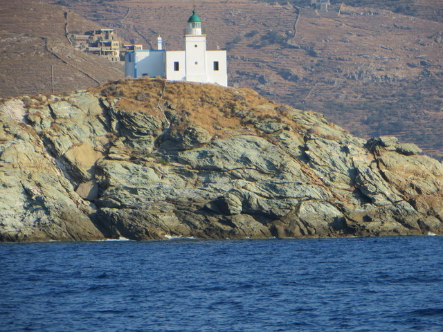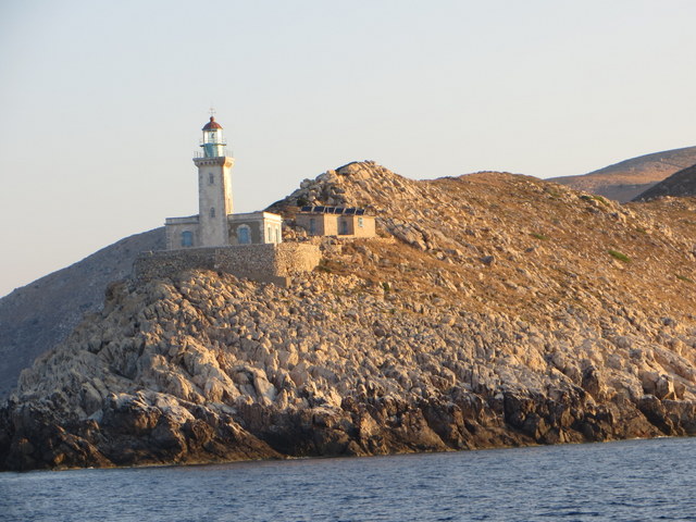
Since our last blog post we sailed from Psara Island in the Sporades group of islands on the east side of the Aegean to Kea Island and Kythnos Island in the Cyclades group of islands on the west side of the Aegean and then around to the west coast of the Pelopennese on the Ionian Sea. To the west of us is Italy.
The sail from Psara to Kea was extremely fast — the best long sail we have had in a couple of years. Another Amel left Psara just after we did at first light, and she steadily closed the gap between us as the day progressed. I noticed that when the wind slackened a bit, the other Amel was faster, but when the wind picked up, we were faster. The French couple sailing the other Amel put a lot more twist in their sails than I ever do, so I learned something in our head to head comparison. Just as the other Amel was pulling abreast of us after hours of sailing, the wind picked up substantially and we pulled decidedly ahead. Who says that cruisers never race?

The longest passage of the past two weeks was the overnight trip from Kythnos Island to Elafonisos Island just southwest of the eastern-most Peloponnese peninsula. This involved rounding Cape Malea, referred to as Greece’s Cape Horn. It was quite gusty around the cape, but not unacceptably so. We are now in Methoni at the eastern end of the Peloponnese.


Laura’s notes for fellow cruisers follow.
M.
Notes on Greece from Sabbatical III for other sailor’s … places we stopped after checking in at Mytilene.
July 13, 2013
Psara, Eastern Sporades, Greece (p. 430 Greek Water’s Pilot)
We anchored at N 38â° 32.33 E 025â° 34. 68
We liked this place very much. There is a small well protected quay in front of the small town and three sailboats were tied up (side to) when we were there. We stayed across the bay in an anchorage which provided good holding and good protection from the northerly winds that were blasting through at the time. Only one other boat in the anchorage. It was kind of a wet dinghy ride into town from there, but apart from the quay it seemed to be the best place to anchor. The town has a few tavernas with good food and friendly proprietors. One of the tavernas is around the corner from the main harbor (facing SW) and was worth eating at. There is a beautiful old church being renovated at the top of one of the hills. A seemingly newly constructed stone walkway from the town up to a scenic viewpoint (and a small chapel) is well worth the trip up. Views are outstanding from there. The walkway, up a steep cliff, is lit at night and is really magnificent to see from the anchorage. A few mini-markets and a “supermarket†where we found plenty of fresh veggies and fruits and yogurts. Decent prices too. Clear water for swimming. 3G good.
July 12, 2013
Limin Ay Nikolaou on Nisos Kea, the Northern Cyclades Islands, Greece ( p. 241 Greek Water’s Pilot)
We anchored at : N 37â° 40.128 E 024â° 19.219
Popular spot. There is a very long and nice looking quay in the NE part of the bay. There were lots of boats there, anchored stern to. There are supposed to be several tavernas on shore, but we did not go in. The book lists three different areas to anchor, but we found only one, Coal Bunker Bay to really be useable. Ormos Livadhi had a big ferry parked in the middle of it and no anchored boats, and Vourkari (with the quay) had too many boats on mooring balls to be an option for us to anchor. Very quiet place. Water clean and clear. Some bits of plastic and other garbage on the sea bottom detracted a bit from the beauty of the water. 3G, but we don’t remember how good it was.
July 13 – July 16 2013
Ayios Stefanos, Kithnos, the Northern Cyclades Islands, Greece ( p. 246 Greek Water’s Pilot)
We anchored at N 37â° 23 723 E 024â° 27.517
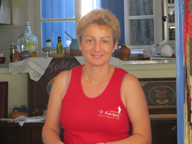
Anchorage is very comfortable and we liked the place very much. Excellent taverna up behind beach (on NW side of beach) Flora, her daughter Stella, her mother, and other family members run the place. They even brought us fruit and veggies from town… when we told them we were running low. There seems to be a second taverna on the other side of the beach, but it was always empty so we did not try it. Lovely water for swimming. Twenty or so small vacation homes (some just like cabanas) on the beach, plus a couple of large beautiful homes up the hill. Great places to hike or just walk. Breathtaking views from the top of any hill. All the tourists there were Greek. Very quiet. Delightful place.
3G service is ok, not great.
July 16 – July 18
Nisos Elafόnisos, Peloponnese, Greece (p. 146 Greek Water’s Pilot)
We anchored at N 36â° 27. 846 E 022â° 58.791
Overnight sail here from Kithnos (about 18 hours with good winds) Used Poseiden for weather forecasting and it was very accurate. Lots of shipping traffic… everyone well behaved and using their AIS. Ferries, cruise ships, cargo ships, tankers… going to Pireus, Naples, Izmir and Istanbul.
We had planned our trip so as to maximize the possibility of light winds as we rounded the cape at Ãk Maléas; We had no problems in rounding the cape, but found that, despite the fairly gently conditions, the gusts coming off of the land between Ãk Maléas and our anchorage at Elafonisos were extremely strong and unpredictable. 25-30 knots….
The anchorage at Nisos Elafonisos was good with a beautiful sandy bottom and clear inviting water… large sand bar and sand dunes. Day tourists on beach. Could be swelly if swell was from south. It looked as if either of the two anchorages there (O Frangos or O Sarakiniko) would be fine, although almost all the boats were in Ormiskos Frangos the night we were there. Quiet. 3G service ok, not great.
July 18
Porto Kayio, Peloponnese, Greece
We anchored at N 36â° 25.786 E 022â° 29. 159
Lovely anchorage with lots more room than it looks like in the charts. The C-map charts for the approach were slightly off (they were pointing us too far north) and the Navionics charting was better. As you approach this finger of the Peloponnese you may be asking yourself why on earth you came here. It has to be one of the driest, most barren and foreboding looking stretches of land we have seen. And yet, once you enter the harbor, you will become enchanted. It is lovely, and even a bit green. An old abandoned monastery high on the hill overlooking the anchorage is amazing, and there are other old stone structures and a large yellowish colored church perched high up on the hills. There are also three tavernas on shore. Nice clear water and excellent swimming. A well supplied fruit and vegie truck drives through the town daily. You will hear him on his megaphone. If you miss him as he heads through the village the first time, just wait 10 minutes as he will proceed up a hill to the nearby village and then retrace his steps to Porto Kayio. (A second fruit truck came by a few hours later.) Other than that there are no supplies to be had, although they will try to help you out in one of the tavernas if you need something. We anchored in the south side and anchored easily, although weather was calm and it is hard to say if the holding would be good or not in strong winds. Quiet. 3G poor
July 20
Methoni, western most side of the Peloponnese
We anchored at N 36â° 48. 852 E 021â° 42.593
Lots of boats anchored here, but still plenty of room, and everyone is anchoring very well so far. The anchorage is quite protected. There is a breakwater and an old fort which both provide protection from the northwest, as well as providing a very scenic background. The touristy part of town is cute with lots of tavernas, and not much else (we have not even seen a cell phone store in town). There are a few foreign tourists but nothing overwhelming. It’s a quiet town, and continues to be quiet at night. There is a Carrefour Express in town which has a decent selection of foods, and a couple of small local markets that have nice fruit and veggies along with your basic foods. Also a butcher and 2 bakeries. There is a watermelon and honey dew melon truck that cruises back and forth selling delicious melons. Water is clear and nice for swimming. 3G is excellent… so life is good!
L.

Comments are closed.