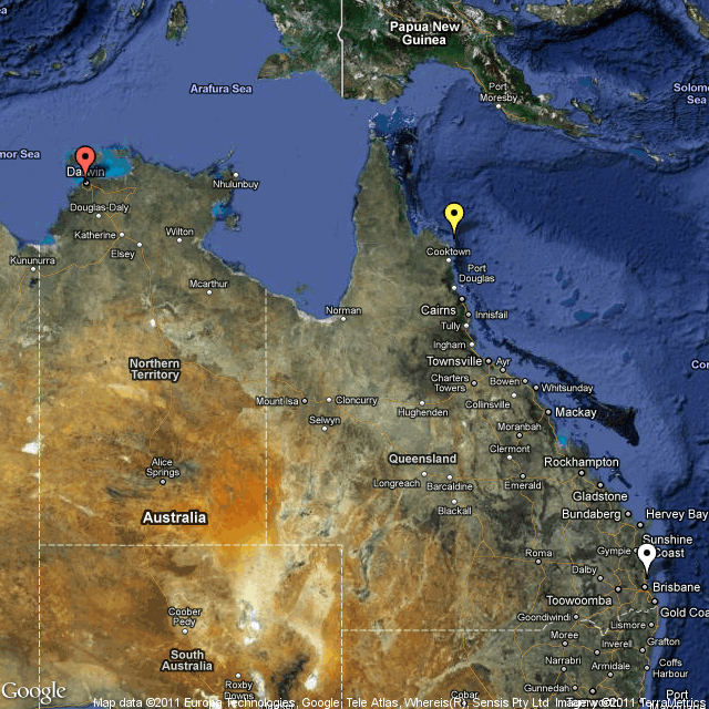
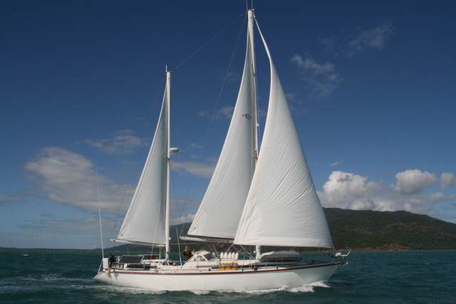
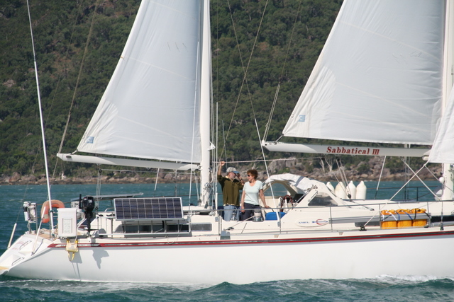
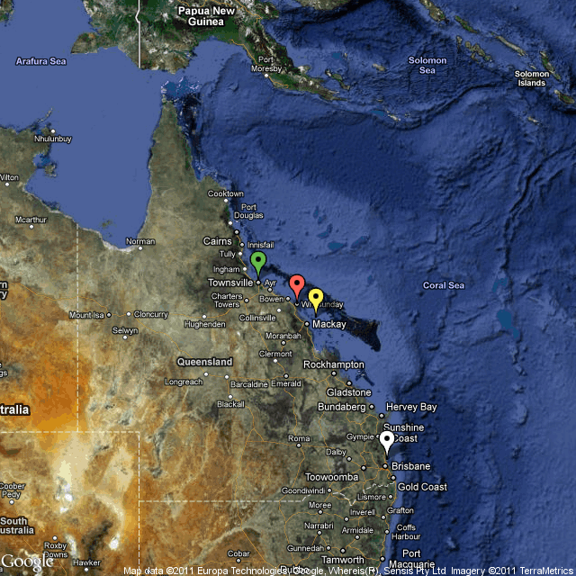
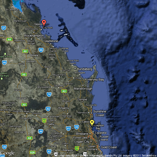
We arrived in Chesterfield Reef yesterday at about 4 pm after a 53 hour passage from Huon Reef. The passage was longer and harder than we expected. The difficulty was not just with the wind and seas, which were more contrary and uncomfortable than expected, but also with some serious electrical and mechanical issues with Sabbatical III. We have been at Chesterfield Reef for 24 hours now and the electrical issues with the boat have been resolved thanks to the expertise and generous assistance of Mike of “Wombat of Sydney” who spent three hours with me this morning resolving our battery charging issues. The mechanical issue turns out not to have really been an issue. Last night I went to bed exhausted and anxious about the boat and that was an improvement from the night before when I was more concerned about the condition of the boat than at any other time since we have sailed. Now I am feeling pretty relaxed — and I have not been drinking.
The story, in brief, is this. We have had a battery charging problem with our 100 amp charger for nearly two weeks. A defect in a new high pressure hose of my watermaker caused a spray of salt water in the area next to the charger. Although the charger seemed fine after the salt spray incident, the voltage regulation circuits must have been damaged. The charger put out more volts than it should. Once I detected the high voltage (I have an in-line voltmeter on the batteries), I stopped using the charger and reverted to using my backup 30 amp charger. But the damage to the batteries had already been done. On the second night of the passage to Chesterfield Reef, the wind died and I ran the engine. At about midnight, six hours after starting up the engine, I noticed that the battery box was very hot and that the alternator on the engine was putting out more amps than it should. I opened the battery box (under the sea berth) and found that one battery was boiling acid and was grossly deformed and that another had a crack, at least two had vented, and all 12 sealed AGM batteries were very hot. I quickly shut down the engine and moved a fan to blow on the batteries. There was no wind and we were drifting. There is no on/off switch for the engine alternator — when the engine is on the alternator provides power to the batteries, and can provide lots of it — up to 175 amps at 24 volts. Clearly, some or all of the batteries were “cooked” by overcharging, and the overcharging was probably due to a short or other failure in one or more of them. The batteries were not coming up to charge and were accepting unlimited amps from the alternator and turning it into heat, melting cases and lead plates and causing the acid to boil. Not a good scene.
Laura got up from sleep to watch over things while I went into the engine room to take the alternator off-line by removing the two belts connecting it to the engine. It is not difficult to unbelt an alternator, but I was frazzled and tired, and it was hot and dark. It must have been 150 degrees or more next to the engine, and the alternator was extremely hot.
The boiling batteries were not the only thing to make me frazzled on this awful night watch. At the start of the evening, our fridge suddenly went out. I could not get the compressor to come on, even when I switched to a different thermostat. We have a second fridge which was not on, so I turned it on and moved all of our food to the second fridge. More concerning was our slow progress. We were only making 4 1/2 knots over the ground (according to the GPS) even though I had the engine powered up at higher rpm’s than usual. There was no wind but there was a misty fog unlike anything I have seen in the tropics. We were burning precious fuel at a faster rate than I thought prudent, and it did not seem likely that we could enter Chesterfield Reef before dark the next day, which would mean a third night at sea in a uncomfortable roll. I could not figure out why we were making such slow progress. It might have been adverse current but my knotmeter was gummed up with coral growth and not working. After I unbelted the alternator after midnight, I decided to check the engine transmission, and, using a flashlight in the dark, I saw seawater in the transmission (the connection between the engine and the propellor). Seawater in the transmission means that the seal around the prop shaft was damaged and sea water was replacing the lubrication oil. That would explain the slow speed. There was nothing to do but motor on, but at a slower rpm so as to reduce the chance of breaking the transmission. Laura took over and I collapsed in bed for four hours of sleep. I did not even hear the squalls with lightening that blew by in the night.
In the morning, I called Mike on Wombat of Sydney on the sat phone to report on our problems. He was by then 25 miles ahead of us, but Mike was willing to turn around and take us in tow if that was necessary. We had not come to that yet. In the light of day, I checked the transmission oil again and it looked much better. In fact, there was no water in it at all. The flashlight in the dark, and my being tired and frazzled, just made me think I saw sea water in the transmission oil. So that worry was gone — the engine would still be able to turn the prop. Although the batteries were still hot after eight hours without a charge, the voltage was getting low so I started a routine of running the generator for 45 minutes every two hours to keep some power in them so we could run our navigational instruments and autopilot.
It seemed unlikely that we could make it to Chesterfield Reef before dark,a unpleasant prospect,unless the wind went from 2 knots to 20 knots very quickly. And then the wind suddenly came up around 9 am and in minutes it was blowing 20 – 25 knots on the beam and the boat took off at 7.5 – 8.0 knots. One more problem solved. Unfortunately, we left a hatch partly open and when the wind picked so did the seas and sea water drenched the forward head. Plus the toilet seat broke off. But these are minor issues.
Once at anchor at Chesterfield, Mike advised me over the radio to take the damaged batteries off line right away to avoid a variety of problems they might cause. The batteries were still hot, and I was too tired to pull 75 pound batteries out of the case and rewire the remaining batteries. I checked the individual battery voltages with a multimeter and found that the voltages were all over the map — no wonder they kept sucking up power from their charging sources.. Instead, we turned off the fridge and freezer, which are are biggest draws on battery power, and kept lights off. Laura cooked up some of the fresh wahoo fish that I caught the day before, and we ate 3 servings each of coconut sorbet before it turned to goo in the warm air, and we slept for 12 hours.
In the morning, Mike came over to help. Mike is a problem solver and he soon identified four batteries that had to come off line, and quickly got the remaining ones appropriately paired and wired. Some of them are in marginal shape, but should get us to Brisbane without too much trouble. He also found a broken voltage sensing wire at the alternator. We got the reduced battery bank to take a full charge without generating heat using the backup charger (the main charger is dead), and then rebelted the alternator and got it back on line, although we are not sure it is working properly. Everything in the freezer — steaks, chicken, wahoo, veggies – was still mostly frozen when we the power came back on. I even got the dead fridge working. The firdge must of died when Laura pushed a big hunk of fresh wahoo in an already full fridge, the pressure accidently disconnected a wire from the thermostat. Once I reconnected it, the compressor came back on.
So thanks to Mike and some luck, Sabbatical III is in decent shape again. We have not been to shore, or even set up the dinghy yet. All this fixing took much of the day and all of our mental energy. Chesterfield Reef looks like a beautiful place from the boat and tomorrow we hope to have a closer look.
M.
Posted via email from sabbatical3blog’s posterous


")


")


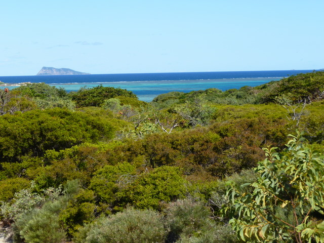
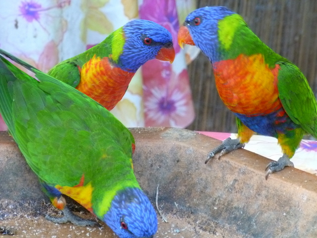
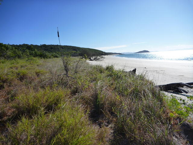
 Chesterfield Reef is quite a beautiful place. Although there are turtles mating and nesting on the tiny small islands of Chesterfield Reef, as on Huon Reef, the highlight here is the birds. The island across from where we are anchored has a perpetual cloud of birds over it. Going ashore makes the cloud even larger as hundreds of birds take wing and squawk at the interlopers. A thousand more of the smaller birds stay on the ground guarding their eggs or fledgings. Unlike Huon, there are “trees” on most of the small islands. They stand only 5 to 10 feet tall and are filled with gnarled branches, perfect for the nests of larger birds who fear that the crabs will eat theirs eggs or babies. Frigate birds and boobies of an unusual variety (tan heads, blue beaks, pink facial coloring, and bright red feet) nest in the trees. The attached photo is of one of the boobies.